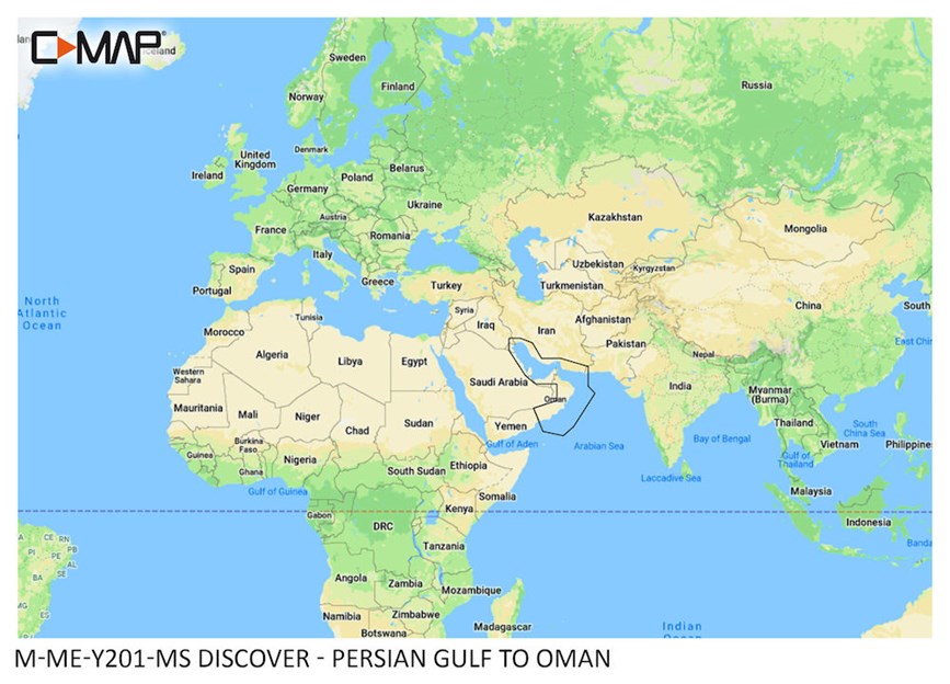
C-MAP® DISCOVER™ - Arabian Gulf to Oman


Price:
Sale price68.000 KD

Description

The perfect mapping solution for cruisers, anglers and sailors looking for accurate, quality data and a range of coverages from the market-leader. Whether cruising, fishing or sailing, C-MAP® DISCOVER™ offers a choice of coverages and includes all of the core features you need to make the most of your time on the water. DISCOVER has the very best of C-MAP High-Res Bathymetry, including integrated Genesis® data, along with full-featured Vector Charts, Custom Depth Shading, Tides & Currents and subscription-free Easy Routing™. Key Features Full-Featured Vector Charts – making navigation easy by giving you accurate, up-to-date vector chart detail derived from official Hydrographic Office information. High-Res Bathymetry – HRB layer helps you identify shallow areas, drop-offs, ledges, holes or humps. Now includes compiled and quality-controlled Genesis® detail as part of single layer. Custom Depth Shading – set a clear safety depth, maintain a paper-like view or create your own custom shading. Easy Routing™ – helps you automatically plot the shortest, safest route based on detailed chart data and your personalized vessel information. No subscription required. Tides & Currents – shows projections of water level and direction of tides to help plan your day out, cruising, angling or sailing. Detailed Marina Port Plans – docking in an unfamiliar port is no problem when you have precise layouts of thousands of marinas, including slip spaces, restricted areas and other valuable navigation information. Harbor & Approach Details – unprecedented level of detail. Approach any harbor and inlet with confidence. The perfect conclusion to a long voyage, sailing adventure or an exciting day of fishing. Online Updates – keep your chart up to date, with 12 months’ free online updates.

You may also like

Recently viewed